In our regular evening meeting on May 10, council provided approval for staff to continue to take steps toward a land sale and road closure near the Gartrell Trail at Landry Crescent.
I recognize that when the words “Gartrell Trail,” “land sale” and “road closure” appear in the same sentence it can raise questions and concerns.
I hope that the following will provide some answers to questions and alleviate concerns expressed by some in our community.
When the land was subdivided for Landry Crescent in 2005, the district set aside an area along Okanagan Lake to create and maintain a trail for public access.
READ ALSO: LETTER: Summerland’s lakeshore land should be protected
READ ALSO: Interpretive sign honours Summerland pioneer family
However, when it came time to build the trail, it was apparent that the area intended for the trail was too close to the water; it would be eroded during high water events.
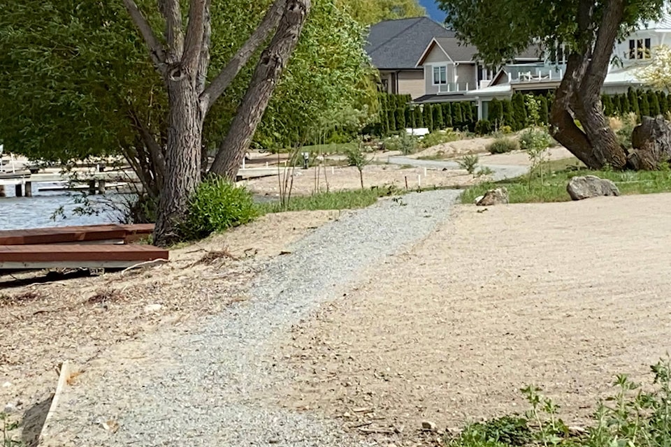
As a result, the trail was ultimately built a bit further upland and is protected today in a statutory right-of-way located on private property. The right-of-way is filed with the Land Titles Office and shows as such on each of the Landry Crescent lot plans – even those not yet developed. It cannot be removed without the approval of council.
Public access is protected, maintained and even being improved on this trail this year.
Council has allocated funding in the 2021 budget to upgrade and restore this part of the Gartrell Trail named (in 2016) after Summerland pioneers Fred and Mary Gartrell.
The original strip of land that abuts the high water mark is the subject of the land sale and bears a walkway designation.
This 225-square-metre strip of land lies between the existing Gartrell Trail and the high water mark. The area below the high water mark belongs to the province (the Crown,) as does the lake bed.
It certainly would not make sense to fulfill its original purpose and build a second trail alongside the current trail, thus increasing the footprint.
Further, the walkway designation does not make sense, especially since Gartrell Trail does not exist in a formal walkway designation, but rather exists in a statutory right-of-way.
Instead of selling the public land, why not protect this area as a park so people can still access the waterfront in this area?
This is a good question; I’ve listed three facts about this strip of land below.
• The amount of land is a narrow strip — about as wide as both arms outstretched.
• As mentioned previously the land below this strip of land is owned by the Crown, not the District and public access to the beach area continues.
• All of this area (the strip of land, Gartrell Trail in the statutory right of way, and the Crown land below the high water mark) is in the riparian protection area. It is, and will continue to be, protected by provincial legislation.
This is important because, although this area is quite bare of vegetation, there are two large and healthy weeping willows that offer some habitat and forage for birds and foster a healthy aquatic ecosystem.
The riparian protections ensure that any future activities will require a watercourse development permit, and the oversight of professional, accredited biologists.
When the district was approached by the adjacent lot owners to acquire the parcel, staff evaluated the three listed items, and made sure all policies were followed, including an appraisal for the land (estimated at $104,000.)
The adjacent lot owners have an interest in purchasing the strip of land, in part, because (due to a technical provincial policy change a few years ago) they need to be the upland owners if they ever want to build a dock, or even maintain an existing dock.
Each purchaser knows they are buying the lands subject to the provincial riparian protections, and that the legal instrument of the statutory right-of-way that protects the Gartrell Trail for public use is being maintained and enhanced in that location, something they are very supportive of.
The funds received by the district will go into the Land Sale Reserve, a fund that helps provide capital dollars to acquire lands for amenities like new trails or improvement to trails for public benefit.
Third, the road closure. A walkway designation is a type of public highway. The district is required to close the ‘road’; thus the road closure notice printed in the newspaper.
Coming full circle, at the May 10 regular council meeting, council elected to provide the first three readings of the road closure of the walkway land in order to proceed with the sale.
There is no road and – because the walkway was not built in the designated area – it is not being blocked or closed to public access.
Gartrell Trail is protected for public enjoyment now and into the future.
Toni Boot is the mayor of Summerland.
To report a typo, email:
news@summerlandreview.com.
news@summerlandreview.com
Like us on Facebook and follow us on Twitter.