Environment Canada is forecasting a shift in the weather pattern for the North, Central and South Okanagan as well as the Shuswap.
An approaching trough of low pressure will shift the winds to a westerly direction, which could bring a chance of showers on Thursday.
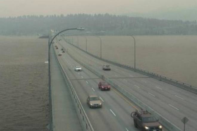
RELATED: Kelowna’s air quality to deteriorate again
For the Shuswap, Environment Canada is forecasting a 30 per cent chance of showers on Thursday and possibility of thunderstorms in the afternoon. Rain is anticipated to continue overnight and into Friday.
In the Okanagan region, a 40 per cent of showers is expected overnight on Thursday continuing into Friday morning with temperatures in the low 20s C.
However, the amount of rainfall anticipated will do little to ease the current wildfire situation, according to Environment Canada.
Communities downwind of wildfires will continue to experience high concentrations of fine particulate matter and poor air quality for the foreseeable future.
RELATED: B.C. works to safeguard livestock during another tough wildfire season
According to the real-time air quality index, which pulls a pollution rating from a station at Okanagan College, the PM2.5 level is at a 138 out of 500 and considered unhealthy for sensitive groups.
During a wildfire, smoke conditions can change quickly over short distances and can vary considerably hour-by-hour.
@Jen_zee
jen.zielinski@bpdigital.ca
Like us on Facebook and follow us on Twitter.