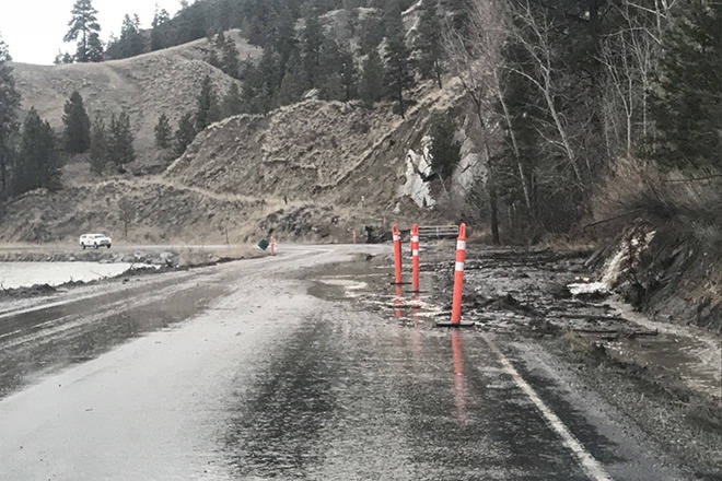
Penticton and Summerland were hit the hardest in the Okanagan with rainfall on Thursday with 25 millimetres falling in a period of three hours.
“Which is quite a lot, when you consider that a heavy rainfall is considered eight mm or more per hour. That is what they saw in the late afternoon from about 5 p.m. to 7 p.m.,” said Shannon West, Environment Canada meteorologist.
Related: Rainstorm causes road flooding in Naramata and Okanagan Falls
March 22 daily rainfall records were set in the South Okanagan, including Summerland which had a total of 33.8 mm of rainfall in that 24-hour period beating the previous record of 14.4 mm set in 1995. Penticton had 29.6 mm or rainfall beating the previous daily record of 16.3 mm set in 1972 and Osoyoos had 18.3 mm or rainfall beating the daily record of 10.2 mm set in 1988.
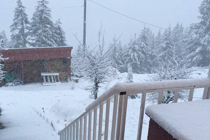
“We are now moving into spring and the weather system of the entire area had a cool unstable airmass. We saw a couple of lightening strikes in higher terrain west of the Penticton area. When you have a thunderstorm with intense convection you get heavy downpours and that is not uncommon. In this case the Summerland-Penticton area saw the most move over them,” said West.
Over the 24-hour period, Vernon had 12 mm of rainfall and the central region of the Okanagan was in the range of 10-15 mm of rainfall.
West said the cool, unstable airmass is still in the area so there is a chance of flurries or rain showers on Friday afternoon. She added that there is a smaller system coming through Eastern Washington that may also clip the Southern Okanagan on Saturday. As it stands, there is a 70 per cent chance for precipitation in the early morning.
“Sunday looks cloudy, but dry. There looks to be a one day break in precipitation and then we could be heading back to an active weather pattern on Monday night, into Tuesday.”
kristi.patton@pentictonwesternnews.com
Like us on Facebook and follow us on Twitter.